 vesseltracker.com
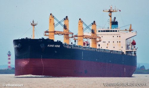
Vessel 'KANG HONG' IMO: 9323558, MMSI: 412348000
UTC, -0.85667, -8.34666, course: -1, speed: 11
UTC, -1.08167, -8.19667, course: -1, speed: 10
2026-02-17 10:01:05 UTC, -1.41484, -7.98233, course: 147, speed: 11.4
Live AIS position:
UTC. 347 nm S of Harper),
updated 2026-02-17 10:01:05 UTC.
Find the position of the vessel 'KANG HONG' on the map. The latter are known coordinates and path.
marine traffic ship tracker show on live map
The current position of vessel 'KANG HONG' is -1.41484 lat / -7.98233 lng. Updated: 2026-02-17 10:01:05 UTCDetails:
Last coordinates of the vessel:
UTC, -0.43167, -8.63333, course: -1, speed: 10UTC, -0.85667, -8.34666, course: -1, speed: 11
UTC, -1.08167, -8.19667, course: -1, speed: 10
2026-02-17 10:01:05 UTC, -1.41484, -7.98233, course: 147, speed: 11.4